Category: Photohistory
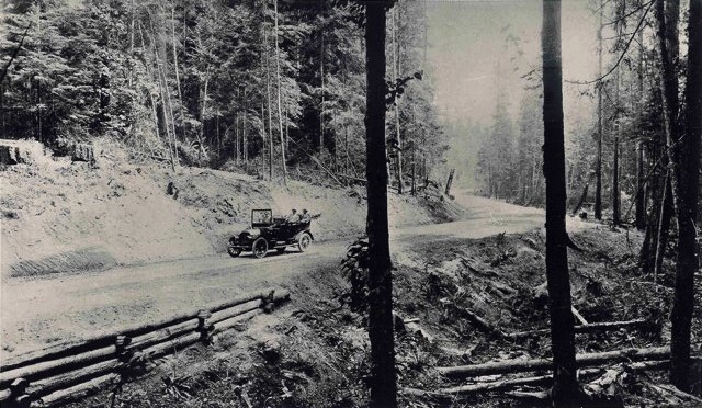
Ole Hanson on Gehr Erickson Road (Bothell Way), 1910
| December 27, 2011 | Posted by uplake under Photographs, Photohistory |
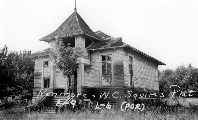
Original Kenmore schoolhouse, 1936
| December 27, 2011 | Posted by uplake under Photographs, Photohistory |
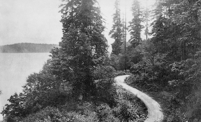
Goat Trail Road, 1910
| December 27, 2011 | Posted by uplake under Photographs, Photohistory |
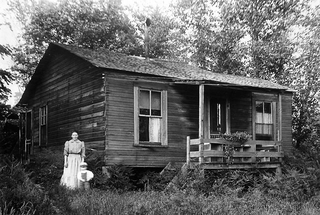
McMaster Shingle Mill worker’s shack, circa 1914
| December 27, 2011 | Posted by uplake under Photographs, Photohistory |
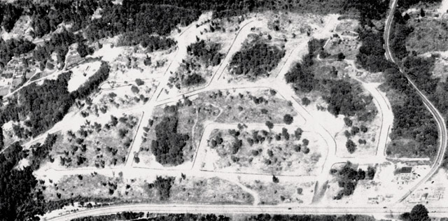
Uplake Terrace, from the air, December 1953
| December 27, 2011 | Posted by uplake under Photographs, Photohistory |
Large (1280-pixel) version – Huge (2900-pixel) version – Current aerial view
From a stet of a photo found attached to the original plat map, possibly by Pope and Talbot Developers.
We speculate that the white areas are snow, already melted off the trees; it was a particularly snowy winter. The road along the bottom of the photo is Bothell Way, and the road on the far right Cat’s Whiskers Road, or 61st Avenue NE.
(Recovered from a damaged photo stet, photographer unknown, provided by long-time Uplake resident Jim Palm)
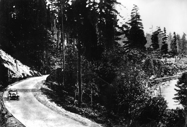
The Red Brick Road passing Uplake, Kenmore, circa 1914-1917
| December 27, 2011 | Posted by uplake under Photographs, Photohistory |
Soon, the lake will be lowered, the train line will become the Burke-Gilman Trail, and 40 years later the road will become Bothell Way, and most of the land shown on the far side of road will become the neighborhood of Uplake, in Kenmore.
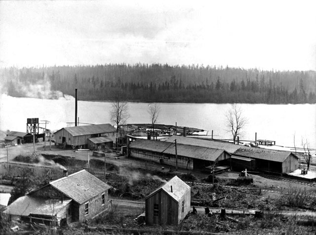
McMaster Shingle Mill, circa 1909
| December 27, 2011 | Posted by uplake under Photographs, Photohistory |

