All Photos
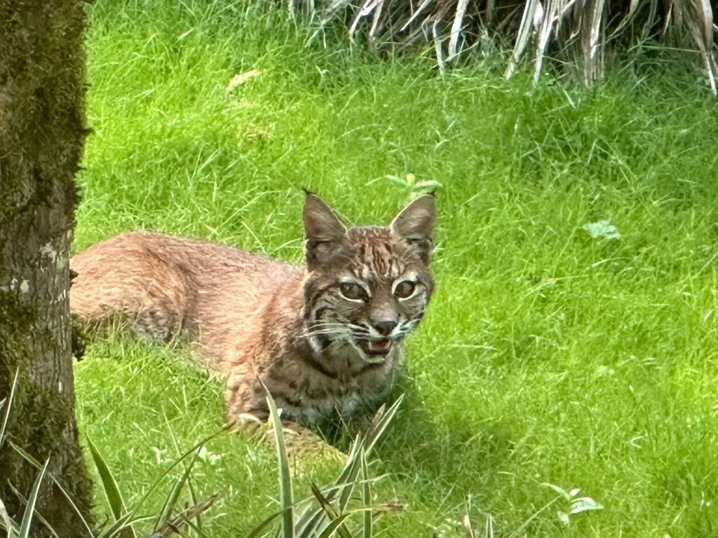
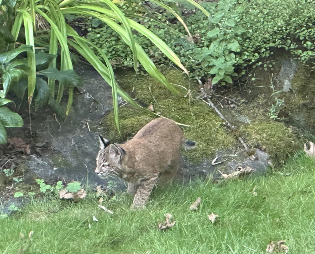
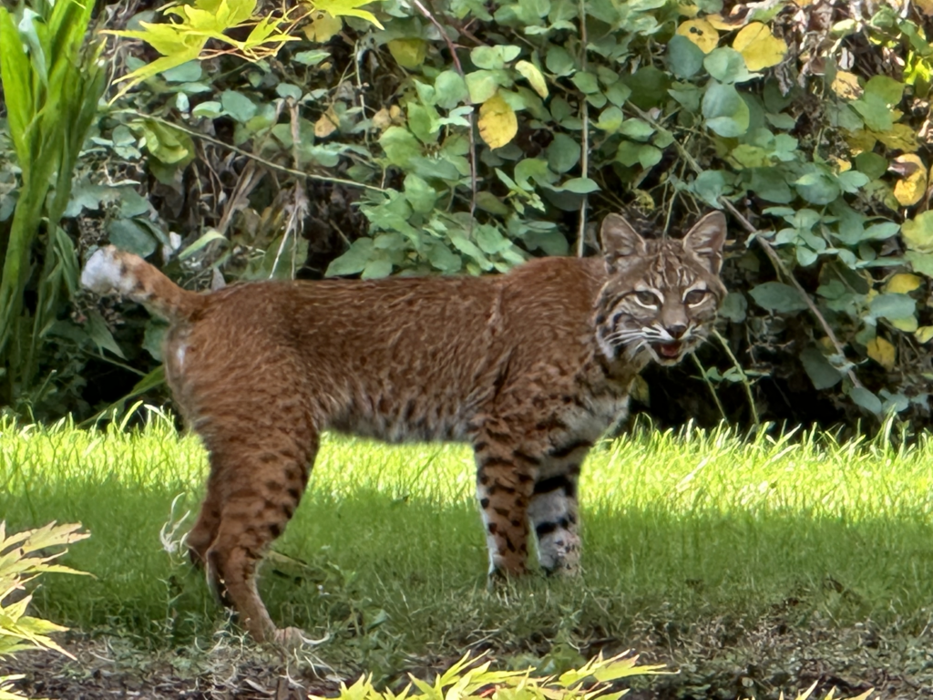
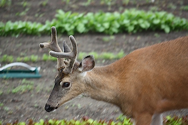
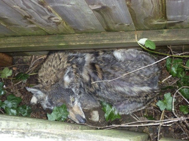
bobcat and kittens
Neighbour Ronald Russell got a good shot of the bobcat family living around the west edge of the neighbourhood, up at the top of the hill, and sent them in. Thanks, Ron!
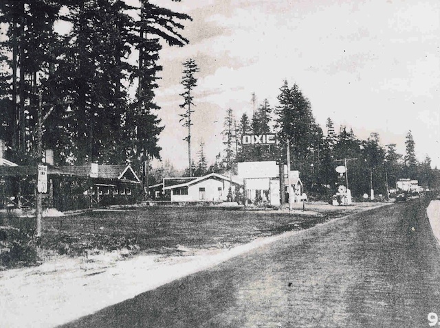
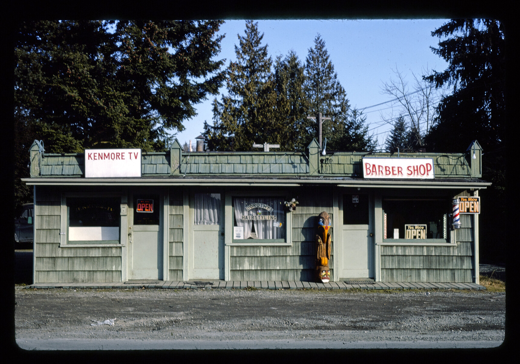
A 1977 photo from Old Kenmore
I honestly don’t know whether the most surprising part of this 1977 photograph is that it was used on a postcard – which it was – or that the old Barber Shop is now a hair salon. Yes, the branding has changed a little, but it’s still hair. But if you’re wondering – no, Dorothy isn’t running it.
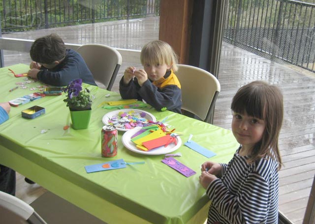
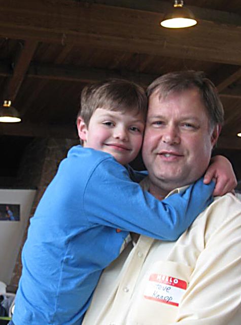
Uplake Easter Egg Hunt, 2016
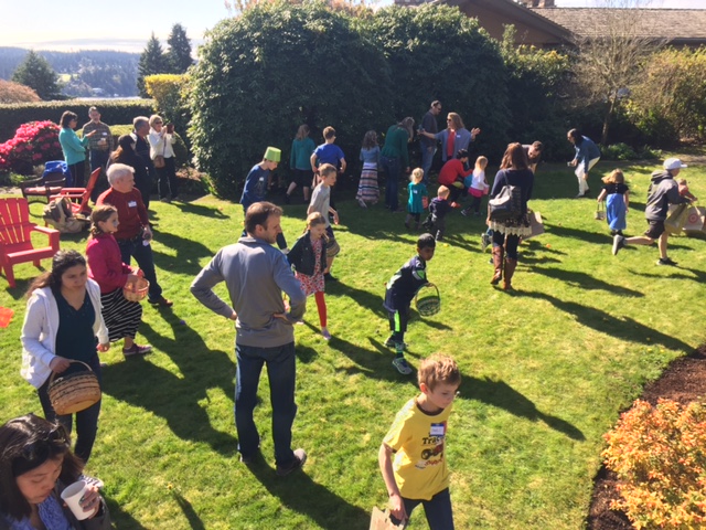
Uplake Easter Egg Hunt, 2016
(photo Steve Knapp)
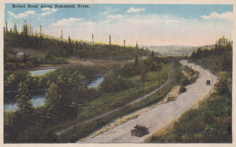
back in 1915
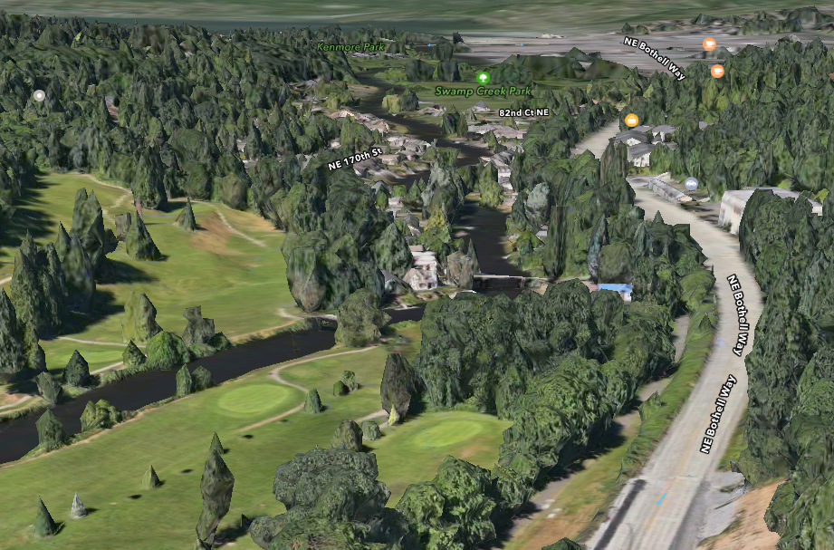
From approximately 1915, a postcard, a hand-coloured black-and-white photograph showing Bothell Way heading west into Kenmore – and a misspelled Sammamish River. It’s very unusual to see a photo of any kind looking west from that far east! The rail line visible in the postcard is now Burke-Gilman Trail.
Below that, enjoy the same view – as best I could manage it – using Apple Maps.
back to 1971
A little while ago, I bought a Japanese-made Korean doll which had been packaged away in 1971 – or so it appears, given that the copy of The Seattle Times used to pad it were from 1971 – and hey, look – an Uplake house for sale!
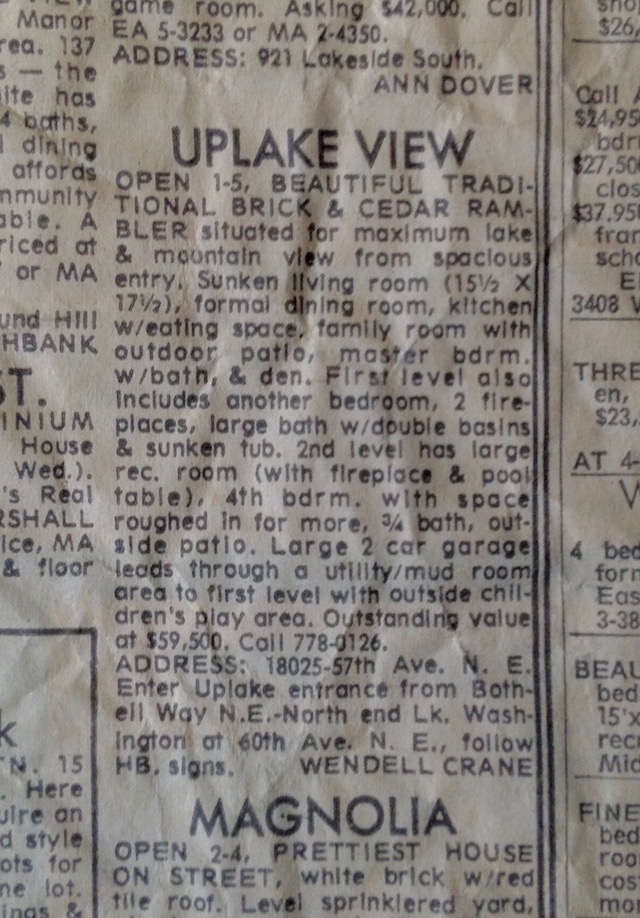
Also another house elsewhere in Kenmore – this one doesn’t have an address.
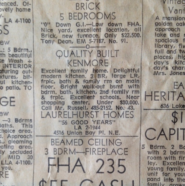
Both from the Sunday, July 18th, 1971 issue of The Seattle Times.
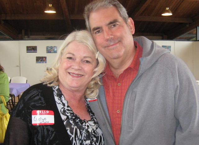
Remember Last Summer?
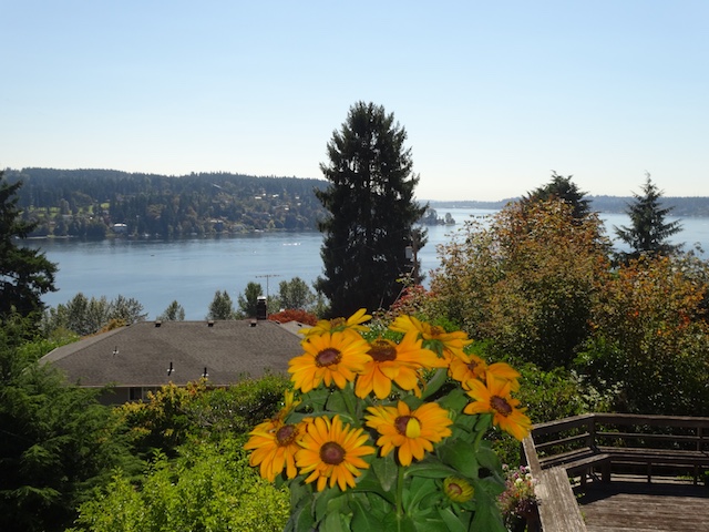
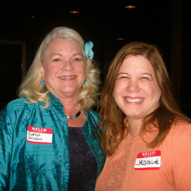
Remember Last Summer?
photo Evelyn Williams
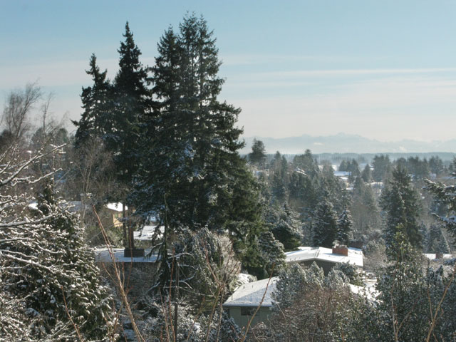
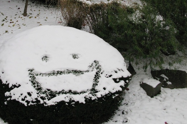
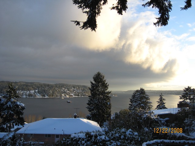
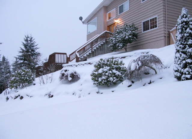
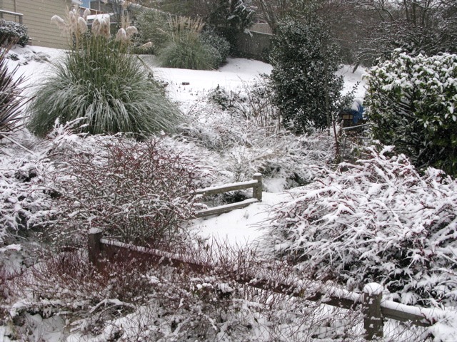
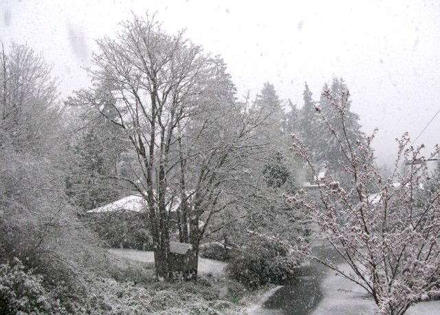
snow day in uplake
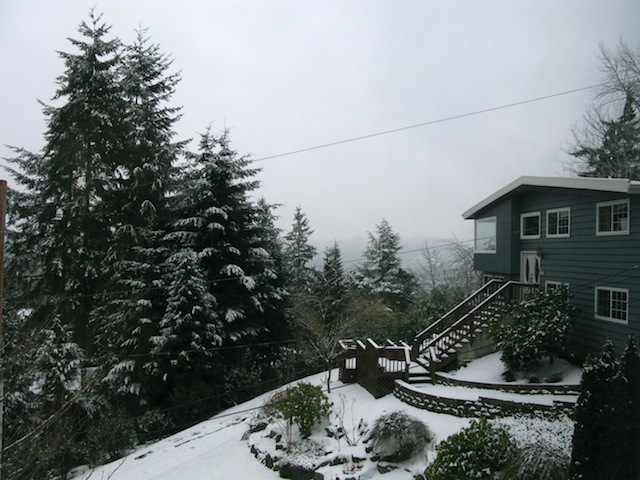
Snow Day (8 February 2014)
(photo Dara Korra’ti)
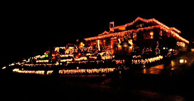
holiday house 2013
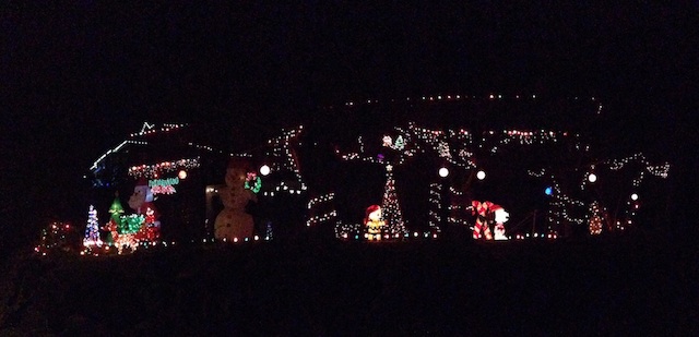
Holiday House (2013)
Click to Enlarge
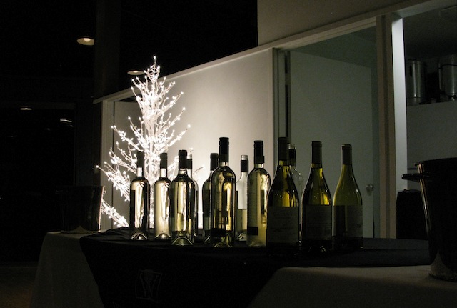
Uplake Charity Wine Tasting - December 2013
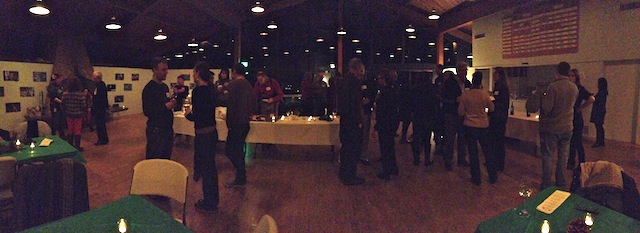
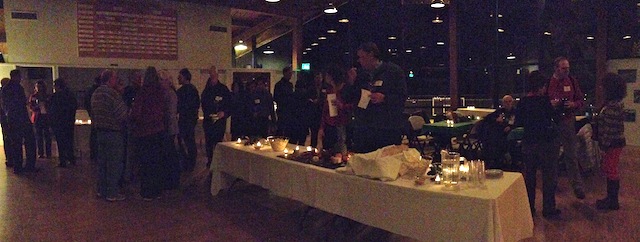
Uplake Charity Wine Tasting, December 2013
(photos Dara Korra’ti)
No Refunds, Kids
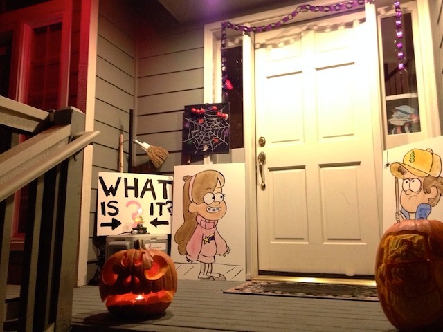 Halloween Decorations (Gravity Falls style)
(photo Dara Korra’ti)
New Remington Garden Sketch
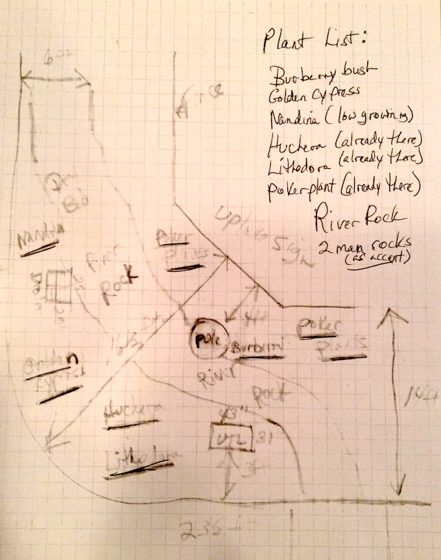
Sketch of New Garden Plan for
Entrance at Remington & Cat’s Whiskers
Repairing the Lights
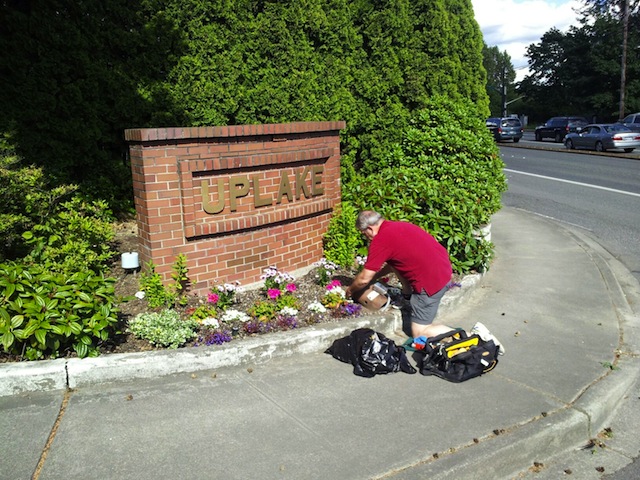 Don Beaty repairs the housing on a light damaged by errant traffic, on 60th Avenue
(photo Steve Knapp)
here comes the train
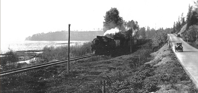
Train Towards Kenmore, 1930
A train from Seattle enters Kenmore, near 55th Avenue NE, in 1930.
(photo courtesy Kenmore Historical Society Newsletter)
Ribbon Cutting Ceremony
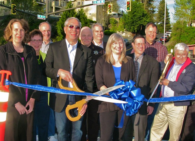
Ribbon Cutting Ceremony, Remington and Cat’s Whiskers
Uplake board members, city council, engineers, and public safety celebrate
the new traffic light and redesigned intersection at
Cat’s Whiskers/61st Avenue and Remington Drive/NE 181st Streets.
(photo Dara Korra’ti)
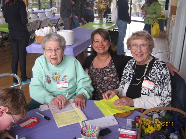
Back in the Summer
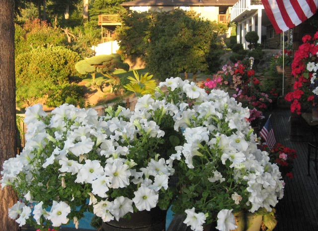
Back in the Summer
(photo Evelyn Williams)
Triple Rainbow
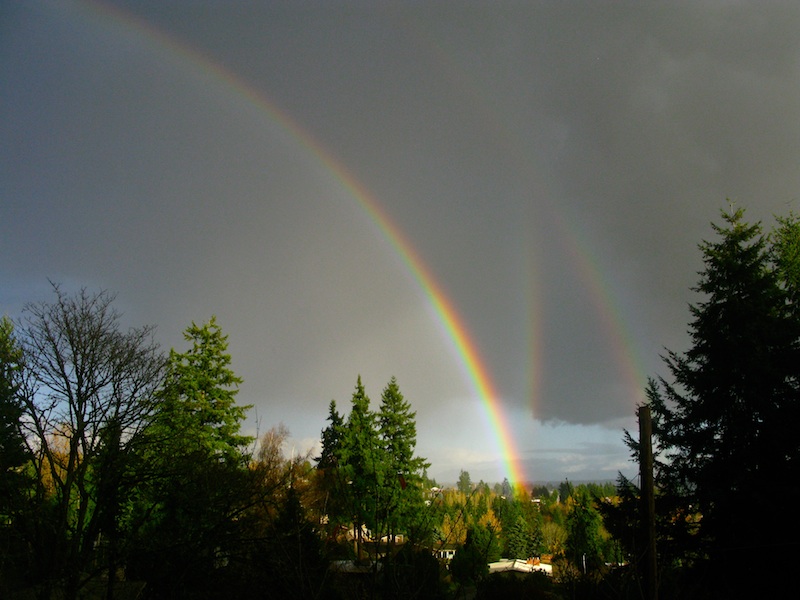
Triple Rainbow
(photo Dara Korra’ti, 3:30pm, November 24, 2012)
Related blog post by Cliff Mass
Our Mascot
The (Unofficial) Uplake Mascot
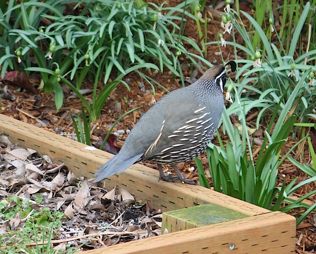
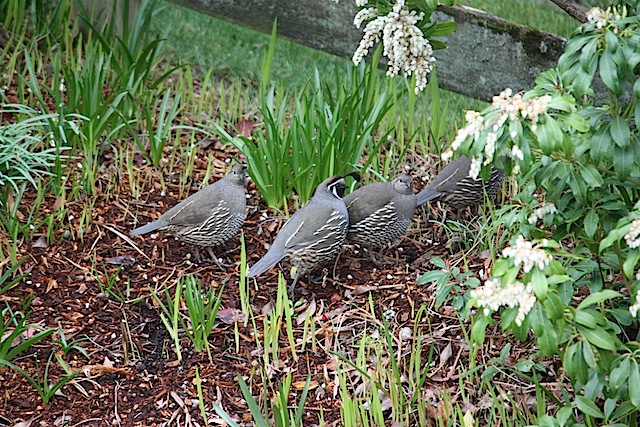
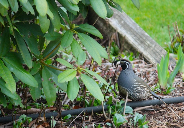
(all photos by Dave Utela)
Uplake Shredding Event 2012
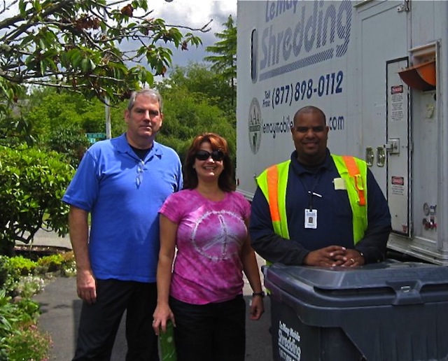
Volunteers at the Uplake Shredding Event
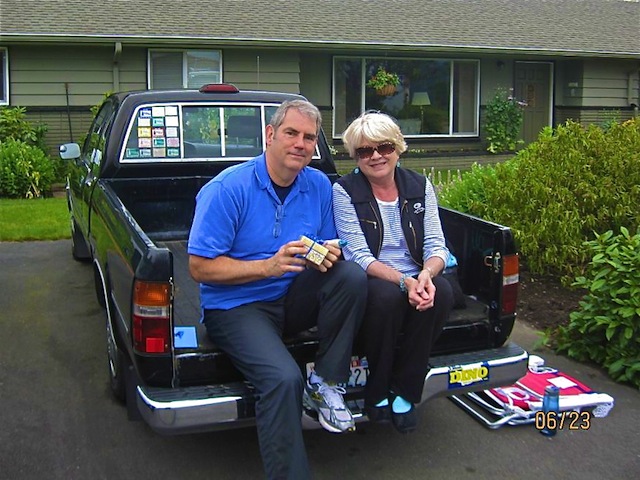
Photos courtesy Evelyn Williams
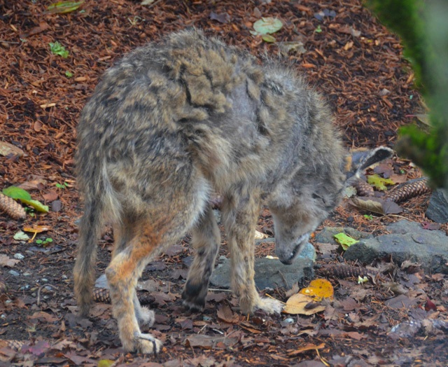
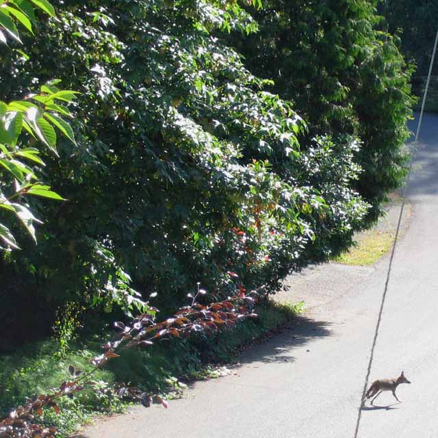
Coyote Scavenging Apples
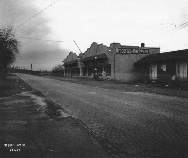
Busy Winter Day, 1924
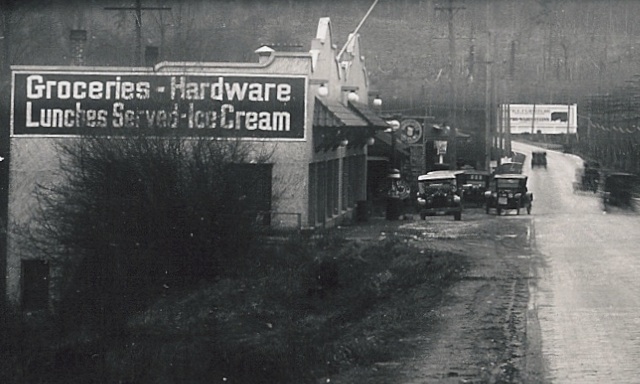
This photo shows business is brisk at L.F. Stetson Sr.’s general store in Lake Forest Park on a winter day in 1924. The store, located at the intersection of Victory Boulevard (Old Brick Road/Bothell Way/SR-522) and what will become Ballinger Way, was just west of what is now Kenmore city limits, and serviced customers in Lake Forest Park and Kenmore, on their way to Seattle.
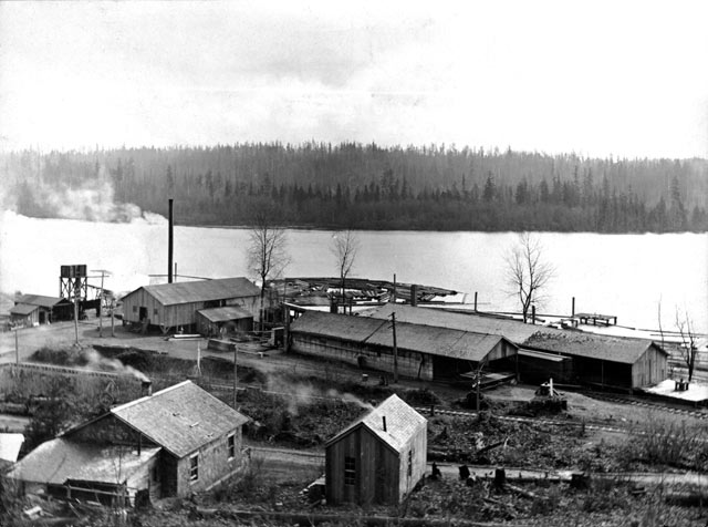
Kenmore's Log Boom, 1924
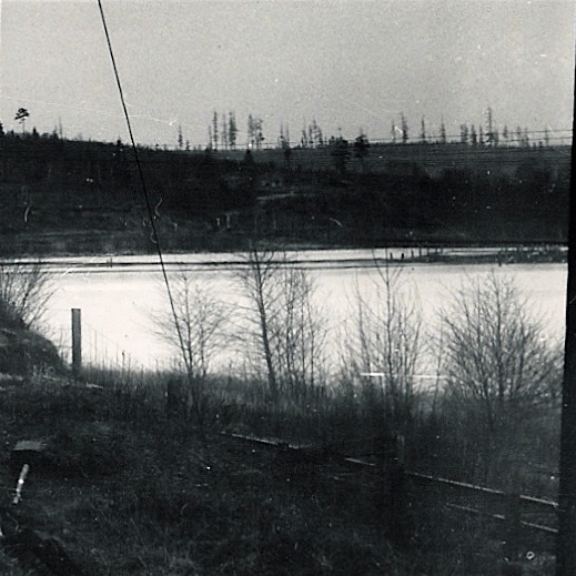
This photograph shows the Kenmore Log Boom in 1928, as seen from Victory Boulevard (the Old Brick Road, now Bothell Way/SR-522). This is now part of Log Boom Park. Tracks of the Seattle, Lake Shore and Eastern Railway, now Burke-Gilman Trail, can be seen in the foreground.
Victory Boulevard (Old Brick Road), towards Uplake, 1924
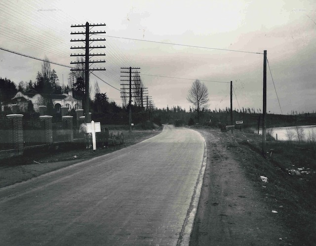
By this time, the Brick Road (now Bothell Way/SR-522) had been renamed Victory Boulevard after the Great War (now World War I). The curve in the road visible in the distance is in what is now Kenmore western city limits; Kenmore’s downtown, already present, is off camera to the right; if you look carefully, you can spot the gap in the trees marking Cat’s Whiskers Road (61st Avenue NE). Uplake would be laid out 25 years later, on the hill visible in photograph centre.
Ballanger, Burke, and Goat Trail, 1915
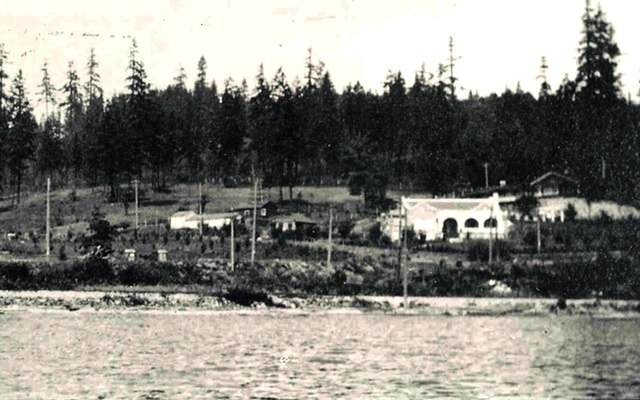
This 1915 photo of Lake Forest Park’s eastern houses shows the pre-lowering Lake Washington, along with the railroad which is now Burke-Gilman Trail, and Goat Trail Road heading off towards what is now Uplake, in Kenmore. Photo courtesy Shoreline Historical Museum.
Red Brick Road at Ballanger Way, 1924
Kenmore’s downtown hill and eastern hill can be seen in the
background, as well as the northern tip of Lake Washington
(Photo Asashel Curtis, 1924, of the Stetson store in Lake Forest Park.
Image courtesy the Shoreline Historical Museum.)
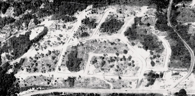
Uplake Terrace, from the air, December 1953
Large (1280-pixel) version – Huge (2900-pixel) version – Current aerial view
From a stet of a photo found attached to the original plat map, possibly by Pope and Talbot Developers.
We speculate that the white areas are snow, already melted off the trees; it was a particularly snowy winter. The road along the bottom of the photo is Bothell Way, and the road on the far right Cat’s Whiskers Road, or 61st Avenue NE.
(Recovered from a damaged photo stet, photographer unknown, provided by long-time Uplake resident Jim Palm)
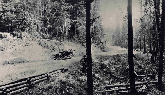
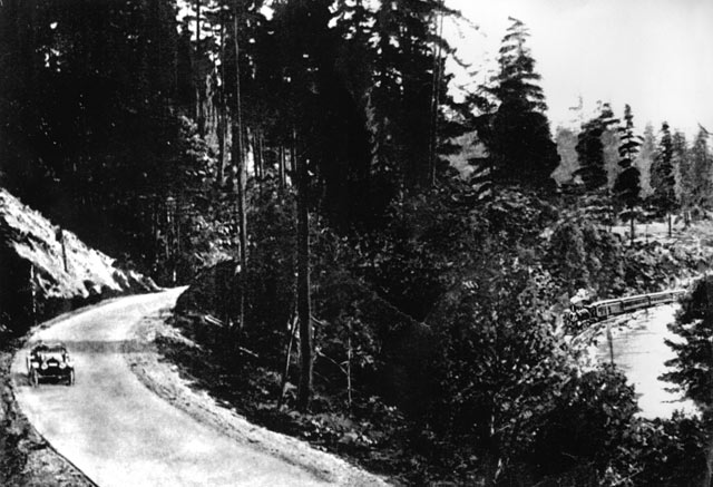
The Red Brick Road passing Uplake, Kenmore, circa 1914-1917
Soon, the lake will be lowered, the train line will become the Burke-Gilman Trail, and 40 years later the road will become Bothell Way, and most of the land shown on the far side of road will become the neighborhood of Uplake, in Kenmore.

